|
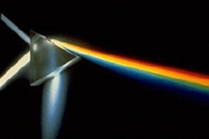
Remote sensing basicsThis training is intended to impart an in-depth knowledge of the basics of modern remote sensing technologies. Please read more in the PDF flyer (German only, sorry). |

|
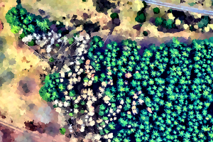
Basics of processing digital remote sensing dataThis training course emphasizes the techniques of processing digital optical, and multi-spectral remote sensing data.Please find more information in the PDF flyer (German only, sorry). |

|
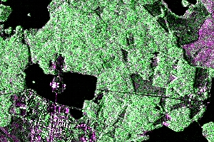
Basic principles of SAR data analysisThis training course broadens your remote sensing knowledge of the basic principles underlying the analysis of synthetic aperture imaging radar (SAR) data. Because of the different characteristics of SAR imaging devices, a great number of processing techniques applied to optical data are doomed to fail when they are performed on SAR images. Therefore basic knowledge about the special aspects of radar image analysis is essential for any successful application to these types of image data.Please Read more in the PDF flyer (German only, sorry). |

|
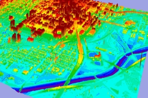
Processing lidar data with open source toolsLidar has become a standard technology for capturing terrain and surface height information. This training course shows how to process lidar data, namely the standard LAS format, using open source tools.Please find more information in the PDF flyer (German only, sorry). |
Training
We are pleased to be able to carry out a training programme which is tailored to individual, or corporate, needs.

