

|
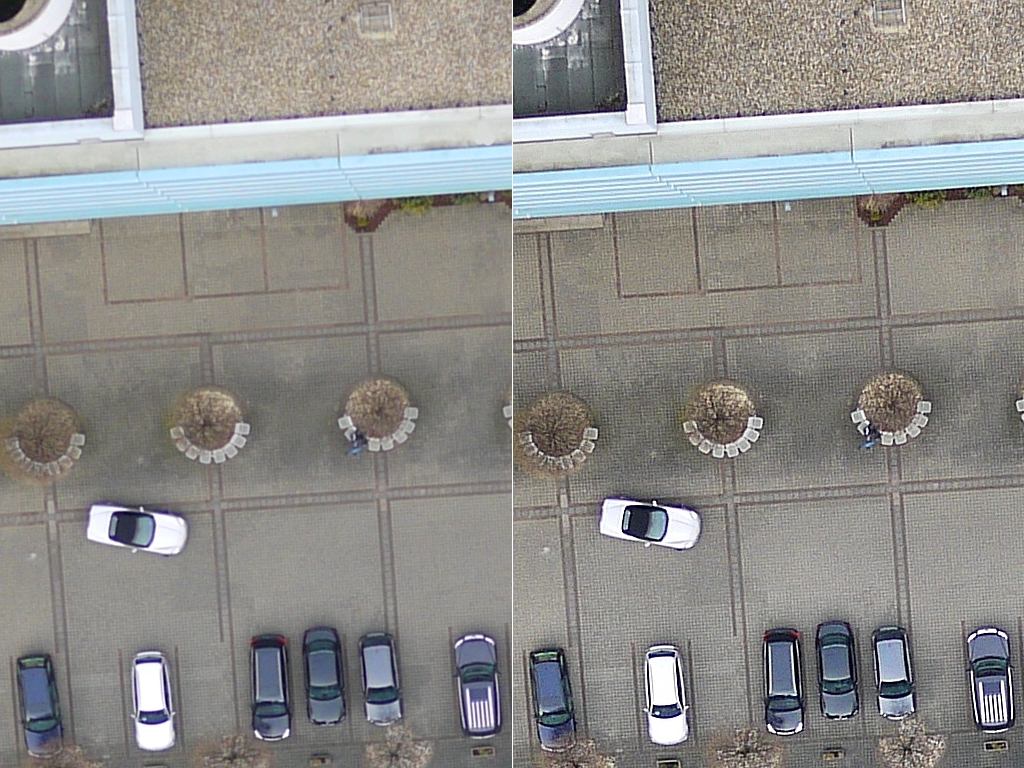
Image EnhancementNumerous enhancement processes are available to optimize the image data for visual or automated analysis. The example shows the enhancement of details for a parking lot, whose paved surface is clearly delineated. |
|
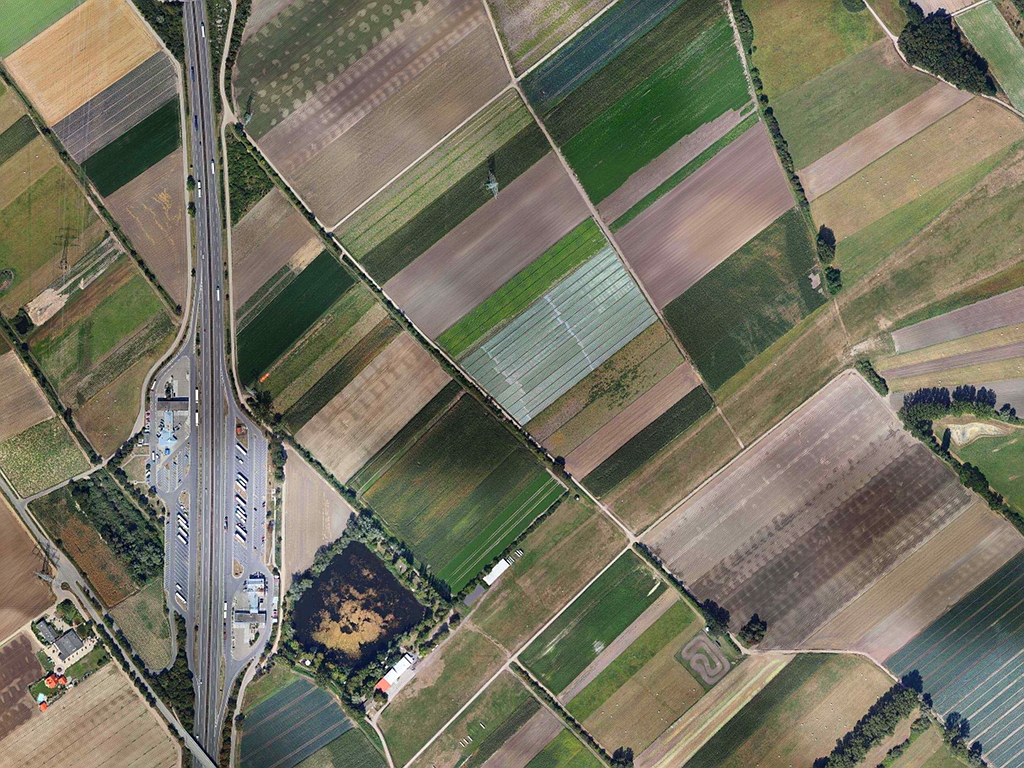
Image mosaickingTesselating images to seamless mosaics is performed using an automated process, so there is no need for a manual tiepoint search, nor do the images have to be geo-referenced. The only prerequisite is that the images have to show sufficient overlap with each other. |
|
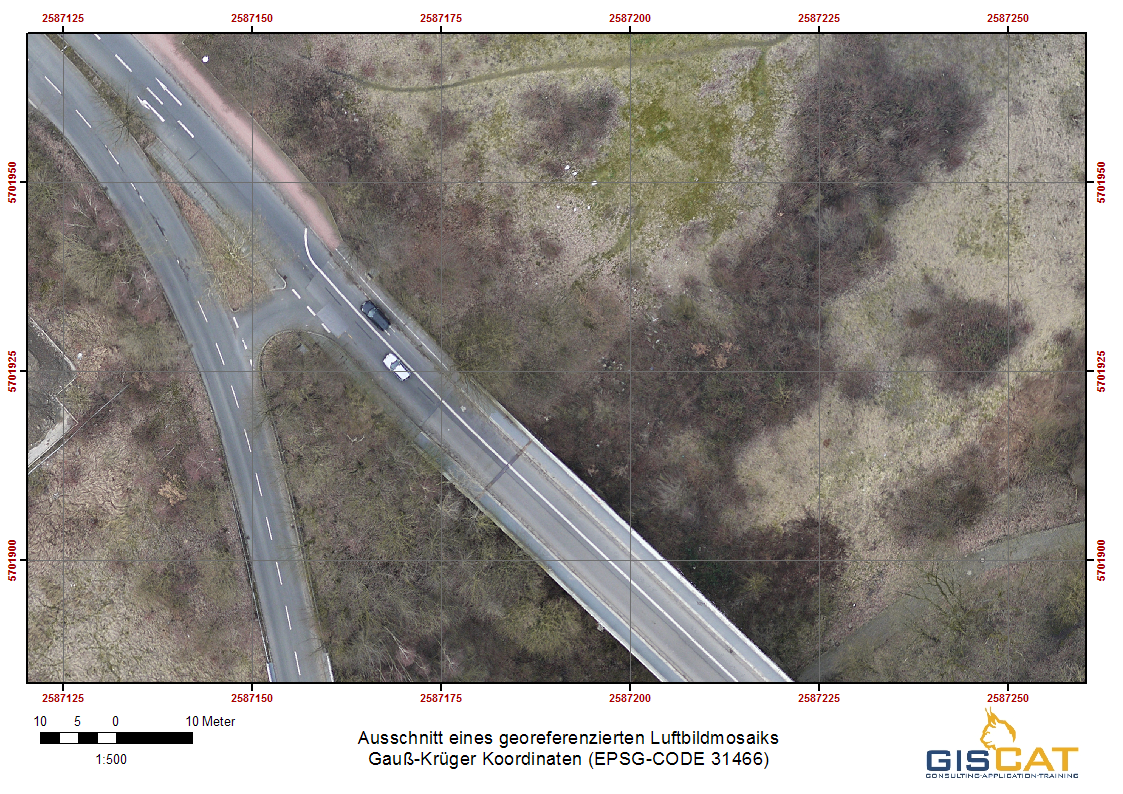
Geo-referencingDuring the geo-referencing process the image data are geometrically transformed into the coordinate space of a coordinate or map reference system. We can deliver geo-referenced image data in all commonly used coordinate reference systems. |
|
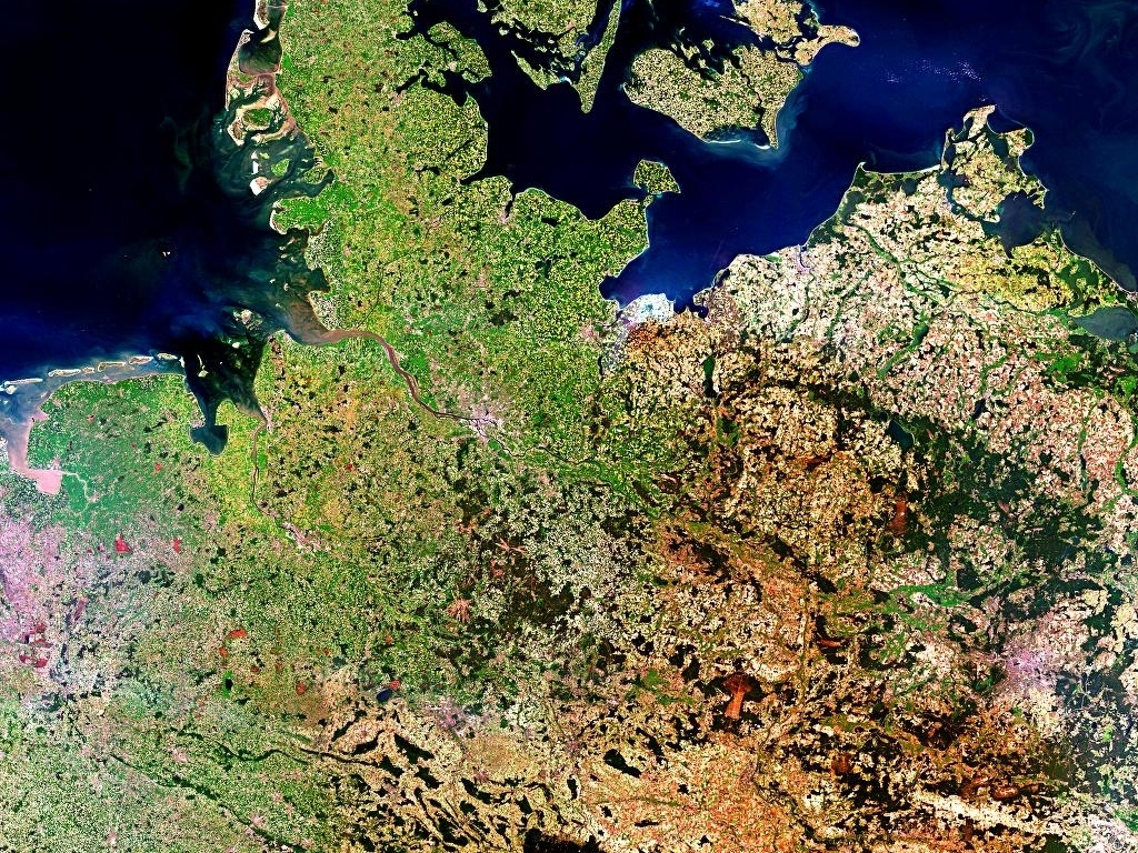
Processing of digital satellite imagesAll image processing tasks can also be performed for digital satellite images. |
Image processing
All image processing can be performed as an additional service to your existing aerial and satellite images.