

|
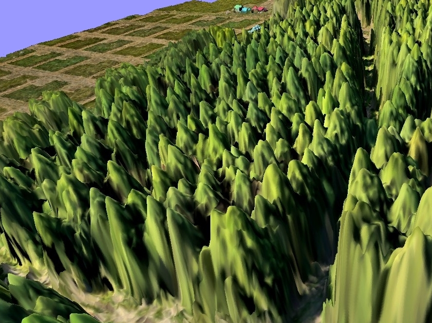
Digital forest canopy surface modelsFrom a hyper-dense point cloud, further image processing can provide raster or vector surface models. These models can be used for a broad range of applications, e. g. to determine the tree heights for an entire forest in one processing step. |

|
Digital surface models for the non-mineral processing industriesPossible tasks in this field of application are calculating volumes, assessment and visualisation of the impact of mining activities on the appearance of the landscape, planning of mining progress and mining roads etc. |
|
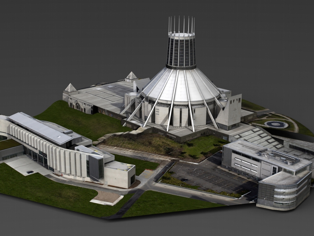
3D reconstruction of buildings and industrial plantsIn close cooperation with one of our partners we deliver 3D models of buildings and industrial facilities, ranging from coarse LOD 1 models up to fully textured architectural models of LOD 4. |
3D modeling
Our 2.5D and 3D surface models are generated from appropriately overlapped aerial images using multi-view stereo analysis.
Because the XYZ-coordinates are only derived by reconstructing the camera imaging geometry, there is no need for an
additional sensor to capture the Z-coordinate. Therefore even our lightweight autonomous platforms are able to capture
image data suitable for digital surface model generation. In combination with the low flight altitude of these platforms the
resulting surface models reveal high-grade of detail, especially for natural surface features such as a forest canopy or open-cast mining areas.